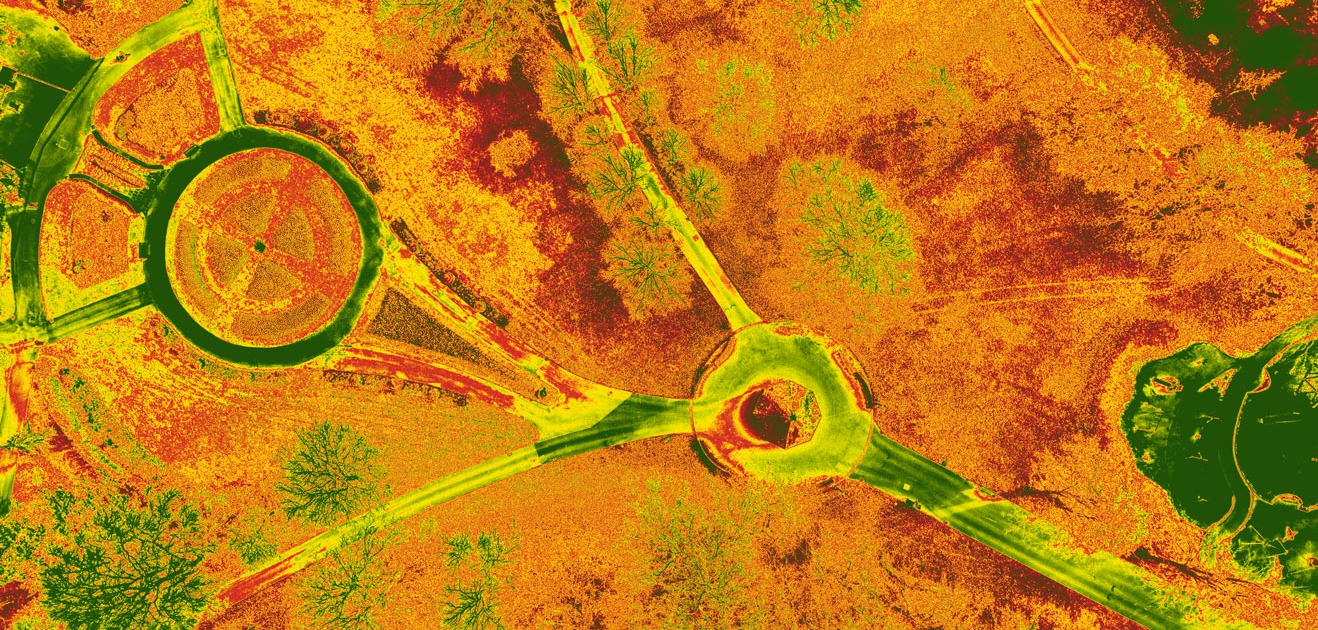
At Sky Pan, we leverage the power of drone technology to provide comprehensive mapping and photogrammetry services. By utilising high-resolution cameras on our advanced drones, we’re able to capture detailed aerial imagery that can be transformed into accurate 2D maps and 3D models.
Whether for construction planning, environmental studies, or land management, our drone-based mapping services offer a highly efficient, cost-effective, and safer alternative to traditional surveying methods.
How Does It Work
Our CAA-certified drone pilots use advanced drone technology to perform detailed aerial surveys. The high-resolution imagery captured by our drones can be processed to create detailed 2D maps or 3D models, providing valuable spatial and topographical information about the land under inspection.
The data collected can be used for various purposes and is typically delivered in a format compatible with Geographic Information System (GIS) software.
Benefits of Drone-Based Mapping & Photogrammetry
Applications of Drone-Based Mapping & Photogrammetry
Our mapping and photogrammetry services are suitable for a range of industries and applications, including but not limited to:
- Land and Property Surveys
- Construction and Infrastructure Planning
- Environmental Studies and Conservation
- Agriculture and Land Management
- Disaster Assessment and Management
Trust Sky Pan with Your Mapping Needs
Sky Pan is committed to delivering top-tier drone services that meet your specific requirements. Our team of CAA-certified drone pilots and professional data analysts ensures the delivery of precise and high-quality spatial data.
When you choose Sky Pan, you’re choosing a partner dedicated to accuracy, efficiency, and sustainable practices. Ready to schedule a survey or need more information about our services? Please contact us.

