At Sky Pan, we provide sophisticated drone services to assist in loss adjustment and insurance claims processing. These services are not only more efficient and accurate than traditional methods but also provide safer, more cost-effective solutions.
Our drones are equipped with high-resolution cameras and advanced sensors that capture detailed and precise data, essential in estimating and validating insurance claims. Our drone technology can quickly assess property damage, speeding up claim processing and providing invaluable data for accurate settlements.
How Does It Work
Our team of CAA-certified drone pilots are highly trained to carry out detailed property inspections for loss adjustment. Using advanced drone technology, they capture high-resolution aerial imagery and, if required, construct accurate 3D models of the affected properties.
The high-quality data gathered by our drones forms the foundation of a comprehensive report that outlines the extent of the damage. This insightful document proves invaluable for insurance adjusters, supporting them in accurately determining the value of claims and speeding up the claims process.
Benefits of Drone-Based Loss Adjustment
Loss Adjustment Services We Offer
Our drone-based loss adjustment services are suitable for a range of scenarios, including:
- Property Damage Claims
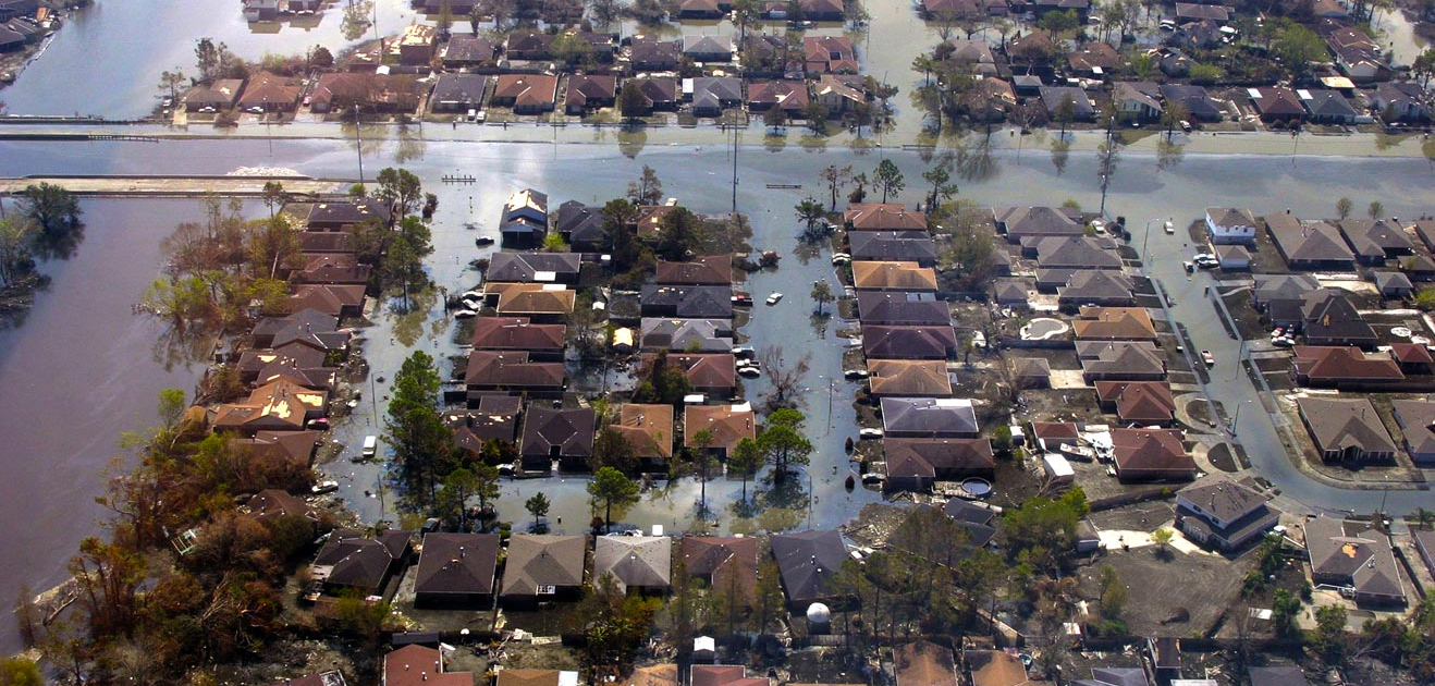
- Natural Disaster Assessments
- Fire Damage Assessments
- Flood Damage Assessments
- Commercial Property Claims
- Agricultural Claims
Trust Us With Your Loss Adjustment Needs
At Sky Pan, we’re committed to providing top-tier drone services that meet your specific needs. Our CAA-certified pilots are experienced in loss adjustment inspections, and our advanced technology guarantees precise data capture.
Choose Sky Pan as your partner in providing quick, accurate, and cost-effective loss adjustment solutions. If you’re ready to schedule an inspection or would like more information, please contact us.

